34 BORDER RD
Owner Information
OBAS JAMES + DANELLE HENRY
34 BORDER RD
HOLBROOK, MA 02343


Property Details
34 BORDER RD is classified as a Single Family Residential (Colonial).
The primary structure on this property was built in 1951. There are 2,258ft2 of built area within this property. There is 2,258ft2 of residential/living space within this property. This property is listed as having 9 rooms.
34 BORDER RD is valued at $209,600. The land is valued at $47,700 and the structures are valued at $161,900.
This property is in Zone R3. Confirm with local Zoning Board authorities to ensure there are no overlays or other easements on this property.
The most recent deed for 34 BORDER RD is recorded at the local registrar in Book 35627, Page 588. 34 BORDER RD was last sold on Tuesday, November 28, 2017 for $340,000.
Assessment data from fiscal year 2018.
Flood Data
According to the FEMA National Flood Hazard Layer, this property does not appear to be in a flood zone. It may also be in an area not yet reviewed. Nonetheless, confirm this information prior to taking any action.
To view the flood hazards around this property, create a FEMA "Firmette" Map of the area around 34 BORDER RD.
Broadband Internet Providers
| Provider | Type | Bandwidth (mbps) | |
|---|---|---|---|
| VSAT Systems, LLC. | Satellite | 2 | 1 |
| HughesNet | Satellite | 25 | 3 |
| Viasat Inc | Satellite | 100 | 3 |
| Comcast | Cable | 1000 | 35 |
| GCI Communication Corp. | Satellite | 0 | 0 |
| Verizon New England Inc. | Fiber | 940 | 880 |
Broadband service provider data from December 2020.
Adjacent Properties
- 36 BORDER RD
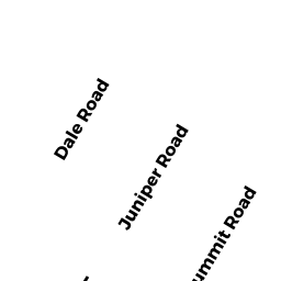
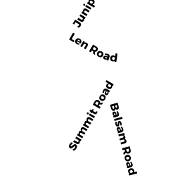
Accessory Land with Improvement owned by OBAS JAMES + - 24 SUMMIT RD
Single Family Residential owned by BERG JAMES H + JULIANNE - 26 SUMMIT RD
Undevelopable Residential Land owned by BERG JAMES H + JULIANNE - 28 SUMMIT RD
Single Family Residential owned by CULHANE PATRICK M + KATHLEEN M - 32 BORDER RD
Undevelopable Residential Land owned by OBAS JAMES +